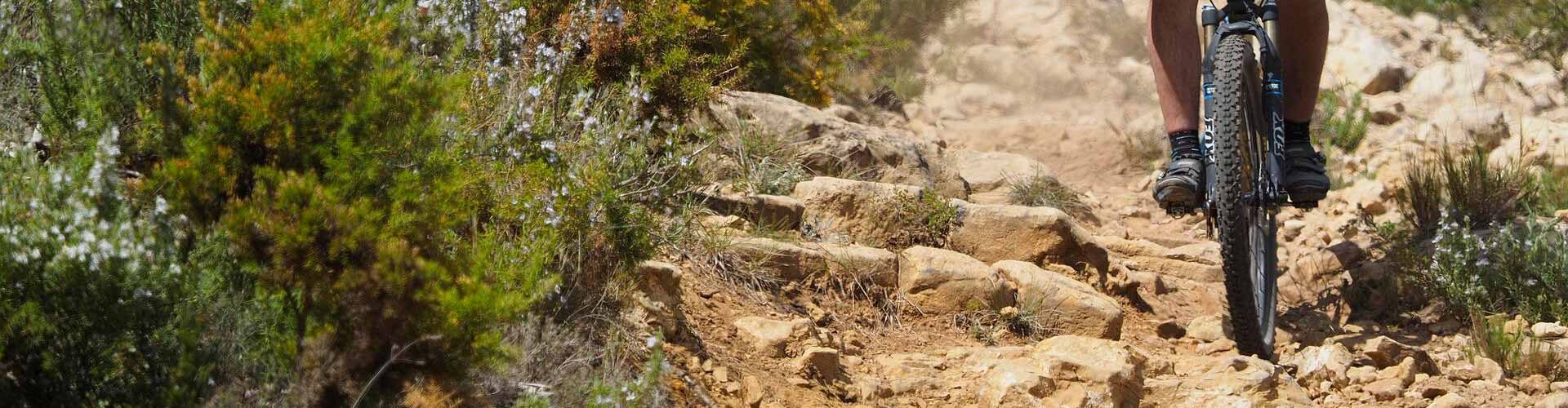
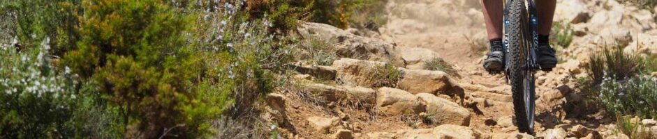
BTT routes
Here you will find the various mountain bike routes in the valley, all of them with different levels of difficulty. Enjoy the natural spaces while cycling.
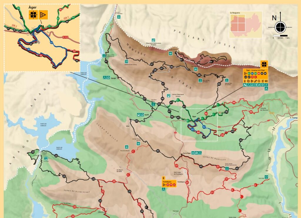
This map shows the route of the mountain bike routes in the valley (routes 41 to 47), in the drop-down menus you can find more information and data about these routes. You can click on the image to download a high quality PDF with the corresponding routes.
In the following link you can also find routes of the Montsec – La Noguera MTB Centre itself, following the professional profile of wikiloc.
You can also download all the routes in .GPX or .wpt format from this link.
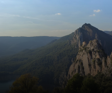
Simple and short route that passes through the valley of Àger, impregnating us with all its essence, protected by the Montsec mountain range.
Distance: 6,75 km
Slope: 147 m
Difficulty: Low
Relatively easy route with some climbs. For a large part of the circuit we go parallel to the village of Àger, enjoying a very pleasant walk, with charm and in contact with nature. The route ends by going through some of the main streets of the town.
Distance: 5,65 km
Slope: 172 m
Difficulty: Medium
Pleasant walk through the valley of Àger where the vegetation is the host of the circuit. Recommended to enjoy the tranquility.
Distance: 6,92 km
Slope: 128 m
Difficulty: Low
This route combines flat sections with contrasting sections of steep ascent. Circuit specially meant for those people who want to take advantage of a cultural visit to the villages of Ametlla and La Règola.
Distance: 21 km
Slope: 555 m
Difficulty: High
Long and physically demanding excursion that reaches the port of Àger where we can enjoy an impressive view of the Montsec d’Ares. The route continues until we reach the tower and the hermitage of Sant Jaume de Cas, from where the track will allow us to make a descent of film until we reach the C-12.
Distance: 37,23 km
Slope: 984 m
Difficulty: Very high
Long circuit that passes through wild places and full of high mountain vegetation. It requires experience in mountain biking, especially in the last section of the descent from the sanctuary of the Mare de Déu del Colobor. It presents a variant (46b), which we will detail below.
Distance: 24,98 km
Slope: 830 m
Difficulty: Very high
Variant with a lot of slopes that requires a good physical preparation for the ascent to one of the great observatories of the Pyrenees. Reaching the top of Sant Alís will reward us with magnificent views.
Distance: 40,19 km
Slope: 1355 m
Difficulty: Very high
Long, steep route, with steep descents and physically demanding, with a spectacular view of the entrance to the Mont-Rebei Gorge. The circuit runs along a path with steep descents and ascents until you reach the sanctuary of La Pertusa, which presides over the Canelles reservoir.
Distance: 36,51 km
Slope: 1311 m
Difficulty: Very high
You may also be interested in
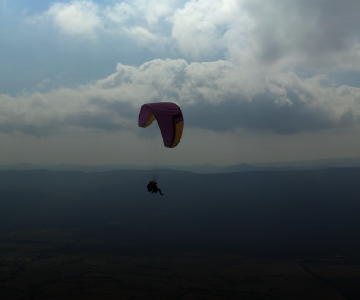
If you want to tour the valley from the sky, the flight is your option.A unique experience of nature and adventure.
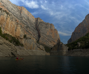
Discovering the Mont-rebei gorge from the water is one of the greatest privileges offered by our environment.