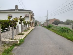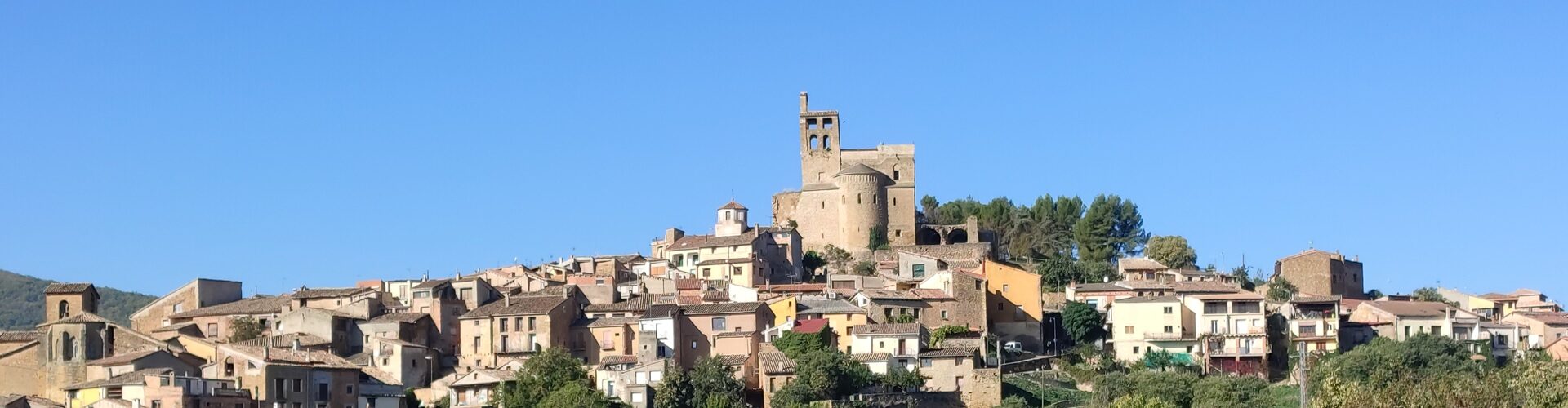
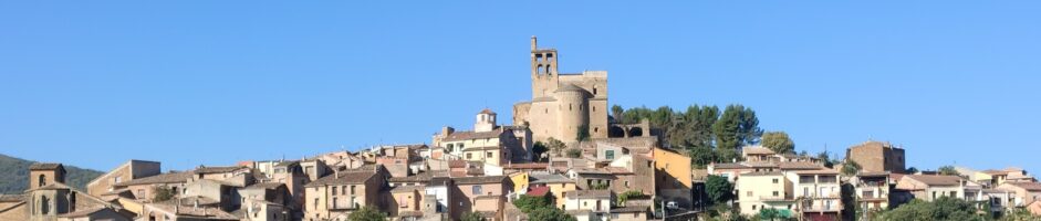
It is a village in the county of La Noguera. It is located at the northwestern end of the county. The village is located in the middle of the valley of the same name.
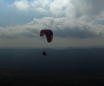
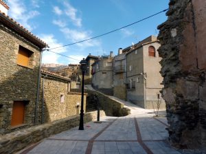
It should be noted that it is a very touristy area due to its night sky, catalogued as a Starlight destination, ideal for observing the universe. It also has a lot of active tourism, being the sky of Montsec also very suitable for hang-gliding and paragliding; and we must also highlight its medieval history and old town and especially the Collegiate Church of Sant Pere de Àger.
Population: 429
It is located in the valley of Àger, near where the waters are divided between the Noguera Pallaresa and the Noguera Ribagorçana.
Population: 38
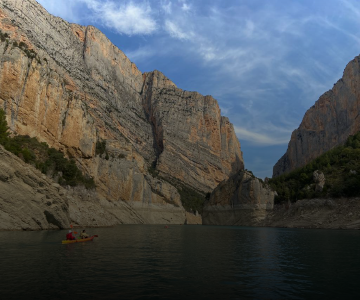
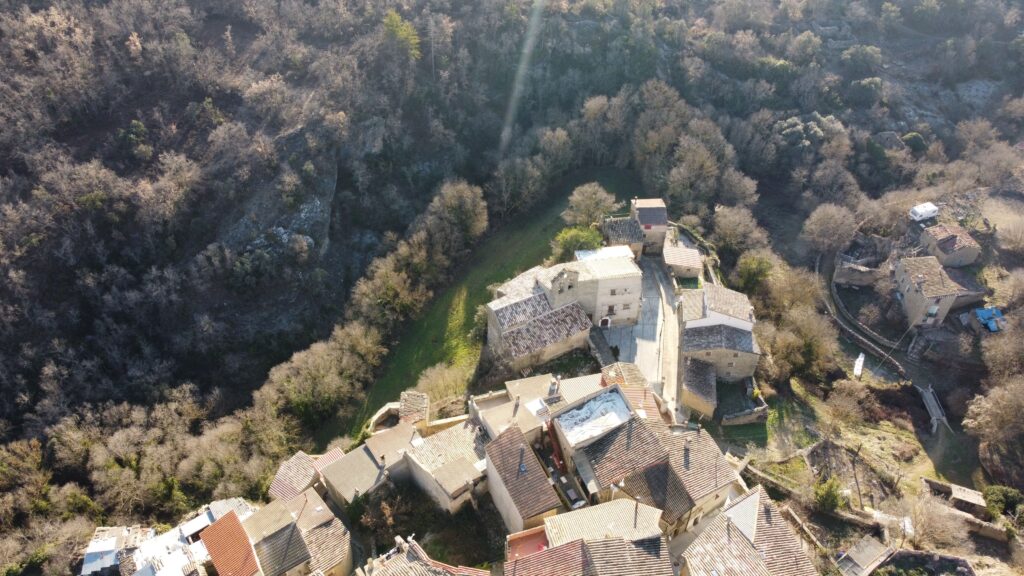
It is connected to Agulló and Àger by a paved track. Of this town the Mare de Déu of the Pertusa stands out, and the walking route through the majestic Congost de Mont-Rebei that can be started from this village.
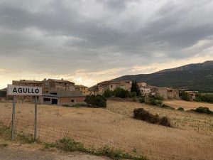
Population: 23

It is located at an altitude of 820m and is bordered on the north by the mountain range of Montsec, on the south by the mountain range of Montclús, on the east by the river Noguera Pallaresa and on the west by the river Noguera Ribagorçana.
Population: 16
Urbanization of neighbours located 1km from the Port of Àger.
Population: 77
It is located at the head of the river Farfanya. Highlights include the 18th century chapel of Sant Romà and an 10th century Islamic watchtower, which was reused by Christians in the following century.
Population: 6
It is located in the eastern part of the district. It was an independent municipality until the middle of the 19th century, when it was incorporated into Àger.
Population: 2
It was one of the first places repopulated by Arnau Mir de Tost in a settlement letter of 1049.
Like Millà, it was an independent town until the middle of the 19th century, when it was incorporated into Àger.
Population: 30
It is located at the southern end of the municipality of Àger. Of this town the hermitage of Sant Josep, of century XVIII, stands out.
Population: 30